Why Comparing These Three Cities Matters
Colombia is often treated as a single travel destination, but Bogotá, Medellín, and Cartagena sit in different geographic zones, operate at different altitudes, and attract meaningfully different types of travelers. Understanding how they differ helps you allocate limited trip days more intentionally — and avoids arriving with the wrong expectations.
If you're weighing similar trade-offs in Latin America more broadly, our comparison of Mexico City vs. Guadalajara covers comparable urban contrasts in a different country.
| Bogotá | Medellín | Cartagena | |
|---|---|---|---|
| Altitude | ~8,660 ft (2,640 m) | ~5,000 ft (1,500 m) | Sea level |
| Typical climate | Cool, rainy, 45–62°F | Mild, 65–80°F year-round | Hot, humid, 86–90°F |
| Primary draw | Museums, cuisine, urban culture | Urban transformation, outdoor access | Colonial history, Caribbean coast |
| Relative tourist cost | Moderate | Moderate | Higher in tourist zones |
| Ease of navigation | Large city, traffic-heavy | Metro and cable car system | Compact walled city, walkable |
| Best day trip option | Salt Cathedral (Zipaquirá) | Guatapé / El Peñón | Rosario Islands |
| Altitude adjustment needed | Yes — 24–48 hrs common | Mild for most travelers | None |
Bogotá: Altitude, Culture, and Capital Energy
At roughly 8,660 feet (2,640 meters) above sea level, Bogotá is one of the highest capital cities in the world. First-time visitors frequently underestimate the altitude adjustment — headaches and fatigue are common in the first 24 to 48 hours, particularly for those arriving from sea level. Temperatures typically range from the mid-40s to low-60s Fahrenheit (7–17°C), and afternoon rain is frequent year-round.
What Bogotá delivers that the other cities cannot match is cultural density. The La Candelaria historic district, the Gold Museum (Museo del Oro), and the Botero Museum concentrate significant art and history within walkable distance. The restaurant and nightlife scene, particularly in the Zona Rosa and Chapinero neighborhoods, is among the most developed in South America.
Ease Into Bogotá's Altitude
If you're flying into Bogotá from a low-elevation city, plan a lighter first day — avoid strenuous activity, stay hydrated, and limit alcohol. Most travelers adjust within 48 hours. Those with heart or respiratory conditions should consult a healthcare provider before traveling to high-altitude destinations.
Street safety varies considerably by neighborhood. Consulting a current travel advisory from the U.S. Department of State and speaking with your accommodation about which areas to avoid at night is strongly recommended before exploring independently.
Medellín: Transformation, Connectivity, and Climate
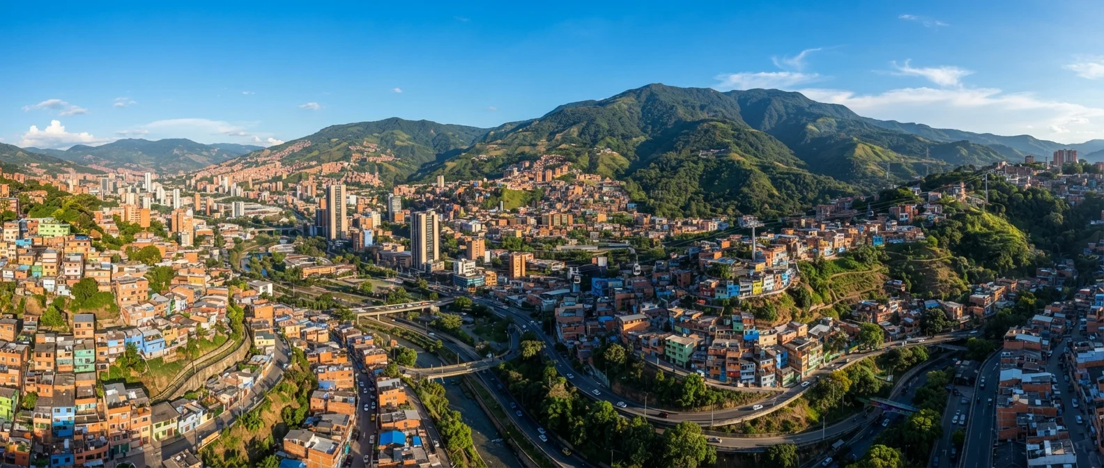
Medellín sits at around 5,000 feet (1,500 meters) in the Andes, which produces what locals call an "eternal spring" — daytime temperatures typically between 65–80°F (18–27°C) with cooler evenings. That climate alone draws a large share of travelers who find Bogotá too cold and Cartagena too hot.
The city's urban transformation over the past two decades is documented and widely cited in urban planning literature. Infrastructure investments including the metro system and cable cars (Metrocable) connecting hillside comunas have made the city significantly more navigable. El Poblado is the main tourist and expat neighborhood, though Laureles and Envigado offer a more local-leaning alternative.
5,000 ft
Medellín's elevation above sea level
This mid-range altitude produces consistently mild temperatures that many travelers find more comfortable than Bogotá's colder climate or Cartagena's coastal heat.
~2 hrs
Travel time from Medellín to Guatapé
Guatapé is one of Colombia's most visited day-trip destinations, reachable by bus or organized tour from Medellín's city center.
Medellín is also a practical base for day trips — Guatapé, with its reservoir and the striking monolith El Peñón de Guatapé, is about two hours away and widely considered one of Colombia's most scenic day excursions.
Cartagena: History, Heat, and the Caribbean Coast
Cartagena operates at sea level on Colombia's Caribbean coast, which means heat and humidity are constants. Average temperatures hover around 86–90°F (30–32°C) most of the year, with a short rainy season typically from October to November. Travelers sensitive to humidity should factor this in seriously.
The walled city (Ciudad Amurallada) is a UNESCO World Heritage Site and one of the best-preserved colonial districts in the Americas. Walking its fortified walls and narrow streets gives a clear sense of the colonial-era Spanish Caribbean. The Getsemaní neighborhood, once overlooked, has become an arts and food hub worth exploring.
Cartagena is also the most expensive of the three cities for tourists on a daily basis — particularly in the walled city, where accommodation and restaurant prices reflect high international demand. Day trips to the Rosario Islands and Playa Blanca are possible but involve additional costs and logistical planning. Verify transportation options and water quality advisories before committing to beach excursions.
This article is for general informational purposes only. Travel conditions, safety situations, and entry requirements change. Always consult official government travel advisories and verify visa, health, and entry requirements with relevant authorities before traveling to Colombia.